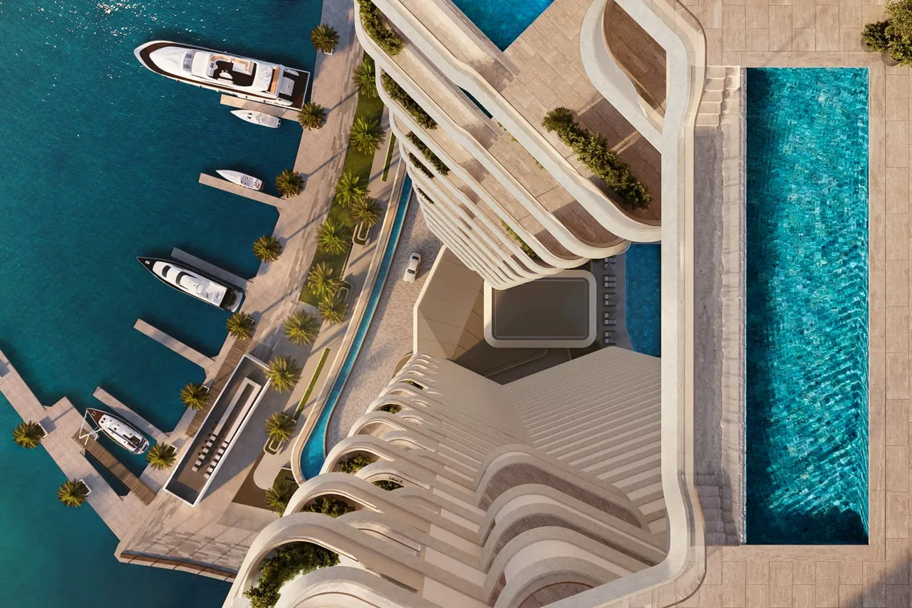
Can You Render the Exterior Without a Drone?

Rodolpho Reis · Art Director at NoTriangle Studio
Updated · 6 minutes
Key takeaways
A drone is not always an option, and the exterior and its setting can still be built another way.
- Route 01
- Aerial viewpoints from a flight-simulator model
- Route 02
- Modeling the context from ground photos and mapping data
- Routes 03 and 04
- Sourced city models, and built backdrops
- Choosing
- We choose the route after that assessment, not before.
A drone is usually the cheapest route to a photoreal aerial: fly the real site, composite the building into the real footage, and the setting is genuinely the setting. But a drone is not always an option. Many sites sit under flight restrictions, close to an airport, or in a dense urban area where getting permission to fly is difficult, and sometimes the timeline simply will not wait for a shoot.
The question we get in those situations is direct: can you still do the exterior, and will it still match the real setting? The answer is yes, and this post covers the four ways we build an exterior and its surroundings when nobody can fly, plus how we decide which route fits a given project.
Why a Drone Is Plan A, and When It Is Off the Table
When a drone can fly, it usually stays the best and most economical route to a fully photorealistic result. A real aerial plate carries the one thing pure CGI has to work hardest for: a specific, believable, real-world setting. That is why our default on exterior work is a briefed local operator flying to a shot guideline, as covered in our guide to drone footage and 3D rendering.
The situations that rule it out are common, not exotic. Controlled airspace near an airport, a dense city center where flight permission is hard to get, a site that is legally or physically inaccessible, or a launch date that leaves no room to schedule a shoot. None of these stop the project. They change how the setting gets built.
Route One: Aerial Viewpoints from a Flight-Simulator Model
For aerial and high-vantage shots with no aerial photography, we can pull the viewpoint from a flight-simulator model of the area. Modern simulator terrain covers real cities and landscapes in enough fidelity to establish the correct geography: where the water is, how the streets run, what the skyline looks like from three hundred feet over the site.
That raw viewpoint is a starting plate, not a finished image. Our team rebuilds and refines it, replacing low-detail geometry near the camera, correcting materials and vegetation, and matching the lighting to the rendering, until it reads as a finished photoreal image rather than a game screenshot. The result is an aerial that is geographically truthful without anyone flying.
Route Two: Modeling the Context from Ground Photos and Mapping Data
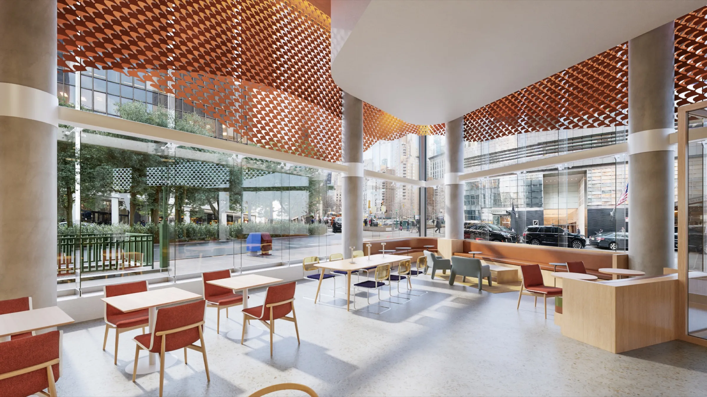
The second route is to model the surroundings ourselves. Ground-level photos, even clean phone photos, tell us what the neighboring buildings, street furniture, and planting actually look like, and public mapping data gives us the footprints, heights, and topography to place everything correctly. From those two sources we reconstruct the context in 3D around the building.
This is the route we took on the Capital One Café project, where on-site photography was not viable. We rebuilt the Manhattan streetscape entirely in 3D, and the visuals still cleared executive approvals. When the setting itself is part of what the image has to sell, this is the most controllable way to get it right without a camera on site.
Route Three: Sourced City Models. Route Four: Built Backdrops
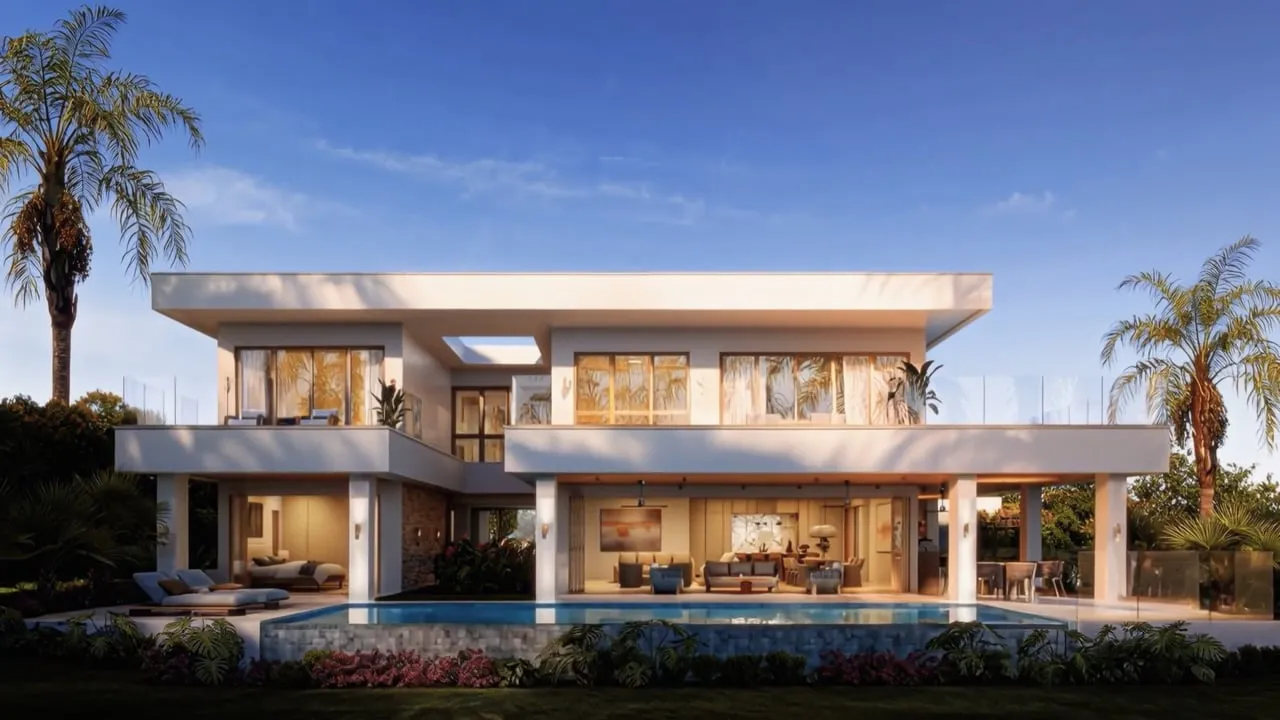
In well-documented city centers there is a third option: sourcing accurate, existing 3D models of the neighboring buildings. Major urban cores have been modeled extensively, and where trustworthy models exist we can license and integrate them rather than rebuilding block by block. It shortens the timeline and keeps recognizable landmarks genuinely recognizable.
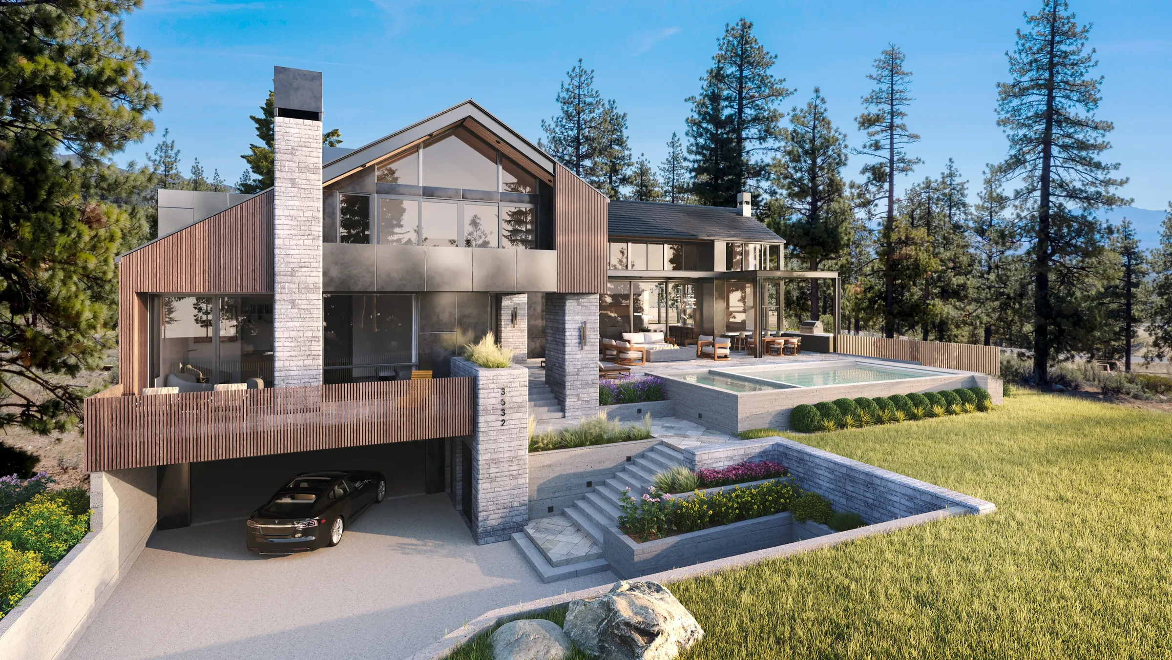
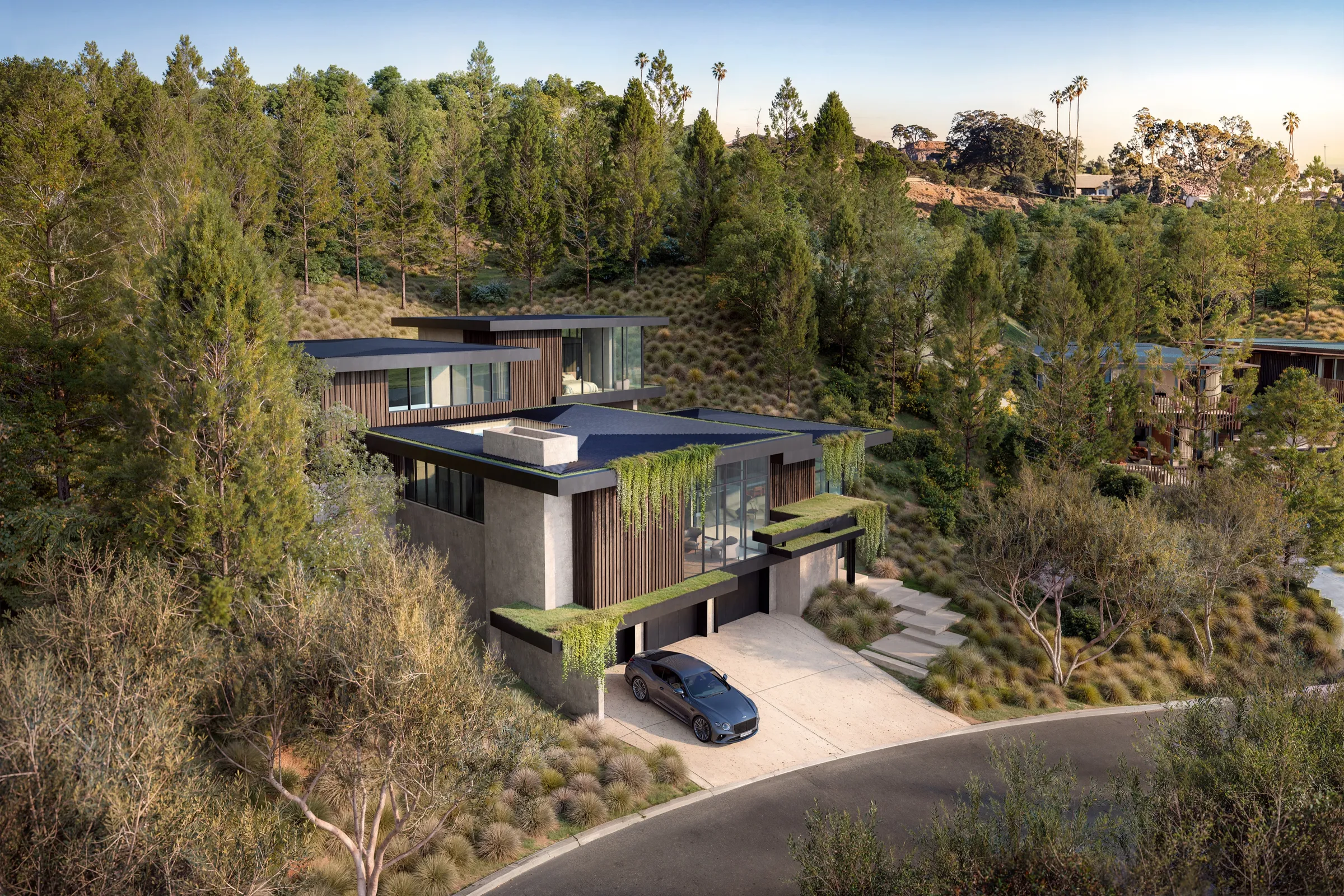
And where the surroundings do not need to be exact, a forest, an open desert, rolling farmland, we build a convincing, region-appropriate backdrop instead. The vegetation, terrain, and light match the real region, so the image is honest about the kind of place the project sits in without documenting every individual tree. For a hillside lot ringed by woodland, an invented-but-accurate treeline sells the setting better than a strained reconstruction would.
How We Choose, and What to Send Us
How closely the finished exterior matches the real setting depends on the reference we have to work from. So the first step is always an assessment of the available material: what photos exist, what mapping data covers the site, whether the surroundings need to be documentary-accurate or regionally right. We choose the route after that assessment, not before, and we tell you what level of match to expect from it.
What helps most is simple: the site address, whatever ground-level photos you can take from the viewpoints that matter, and a note on which views are central to the sale. In many cases a clean phone photo of the actual view is enough to work from. The camera work is then locked the same way as on any of our projects, with every angle approved as a white model before color is applied.
FAQs
Can you do the exterior without a drone, and will it still match?+
Yes. We can build the setting from a flight-simulator model, from ground photos and mapping data, from sourced city models, or as a region-appropriate backdrop. How closely it matches depends on the reference available, which we assess before choosing an approach.
Is a no-drone exterior a downgrade?+
No. A drone is usually the most economical route to a photoreal aerial, but the alternatives can reach the same finish. The Capital One Café streetscape was rebuilt entirely in 3D and cleared executive approvals.
What do you need from me if a drone cannot fly?+
The site address, ground-level photos of the views that matter, and your priorities for which angles sell the project. A clean phone photo of the key view is often enough to start.
For related reading, see how a briefed drone shoot works when one is possible in drone footage and 3D rendering, what goes into a finished exterior in our exterior rendering work, or the basics in what is 3D exterior rendering.