
Planning Approval in Barbados: A Developer's Guide, and Where Visualization Helps

Lukas Berezowiec · CEO of NoTriangle Studio
Updated · 10 minutes
Key takeaways
Planning approval in Barbados runs through the Planning and Development Department, under the Planning and Development Act 2019.
- Who submits
- On a luxury villa, a local registered architect prepares and stamps the planning set.
- Coastal setbacks
- 30.5 metres (100 feet) from the high water mark, or 9.14 metres (30 feet) from the most landward undercut on a cliff frontage.
- Public notice and EIA
- A single spec villa on an established estate rarely hits the EIA triggers. A branded resort on the coast often will.
- Visualization
- A rendering does not win a planning permission, but it makes the design easier to review, explain, and sell once approved.
Every developer building a luxury villa or a small resort in Barbados runs into the same gate before the first footing goes in: planning permission. The process is well documented by the government, but the documentation is spread across a department website, an Act of Parliament, a coastal agency, and a national land-use plan.
This guide pulls the pieces together as they stand in 2026, with links to the official sources, and then covers the part we know best: where visualization helps a project through design review, a public notice period, and eventually pre-sales.
Who Decides, and Under Which Law
Planning permission in Barbados is handled by the Planning and Development Department, still widely known by its older name, the Town and Country Development Planning Office. Its offices are at the Warrens Office Complex in St. Michael. The governing law is the Planning and Development Act, 2019, amended in 2020. It replaced planning legislation that pre-dated Independence and created a Planning and Development Board, which considers the more complex applications.
The Act defines “development” broadly: building, engineering, or other operations on land, any material change of use, and the subdivision of land. A new villa, an extension, a change of use, or a subdivision of lots all fall inside it.
Decisions are made against the Physical Development Plan, the national land-use plan that sets out where and how the island should grow. The most recent amendment, the Physical Development Plan 2023 (Amended), was approved by resolution in both Houses of Parliament in December 2023. If your site sits in one of its community plan areas, such as Holetown or Speightstown on the west coast, the local policies in that plan matter as much as the island-wide ones.
Who Prepares and Submits the Application
The department’s own FAQ says a qualified architect, draftsman, or engineer can draw plans, and points to the Architects Registration Act for which categories of building each may design. The Architects Registration Board gives guidance on which buildings must be designed and stamped by a registered architect.
In practice, on a luxury villa, a local registered architect prepares and stamps the planning set. A developer we are working with at Apes Hill described the split plainly: the stamped floor plans, sections, and elevations for the government approval process are done locally, while the renderings and the detailed interior layers, lighting layouts, tile layouts, fixture heights, sit with us. That is the right division. We do not submit planning applications, and a rendering is not a planning drawing.
Applications go in through the department’s ePortal, which handles formal applications, permitted development, revised and final plans, building start, and certificates of compliance, with payment through the government’s EZ Pay service. The planning requirements page lists what a typical application needs: the form, a certified surveyor’s plot where available, a location plan, a site plan, floor plans, at least two elevations (including the slope elevation on sloping land), and the fee set by a planning officer.
The Stages, from Submission to Certificate of Compliance
The department describes its planning process in five steps. As of 2026, the sequence reads like this:
- Submission. The application is checked for completeness, a reference number is issued, and it is passed to the Environmental Protection Department where required.
- Consultation. The department may refer the application to other government agencies and ask the applicant for more information. Agencies are asked to respond within 30 days.
- Site visit. An officer checks building lines, side distances, and plot coverage, and whether the site falls under a restrictive policy such as a Zone 1 water protection area.
- Decision. A town planner assesses the application with the site report and grants or refuses permission, often with conditions.
- Dispatch. The decision is sent to the applicant or agent. An appeal against a decision or its conditions goes to the Minister responsible for town planning within 28 days.
Two earlier and two later steps are worth knowing. Before detailed plans, the 2019 Act allows an application for approval in principle, useful for a larger scheme where you want the concept tested before paying for full drawings. After permission, the department must be notified in writing before work starts (the building start), and on completion you apply for a certificate of compliance once all conditions are discharged. The FAQ states that a permission expires five years from the date of approval, and that the building start letter must be in before then.
The same FAQ sets out standards that shape a villa’s massing from the start: residential plot coverage should not exceed 40% of the net land area, residences are generally limited to two storeys (varied by location and topography), and building lines are measured from the centre of the road by road class. Your architect will know where these standards flex.
Beach and Cliff Sites: The Coastal Setbacks
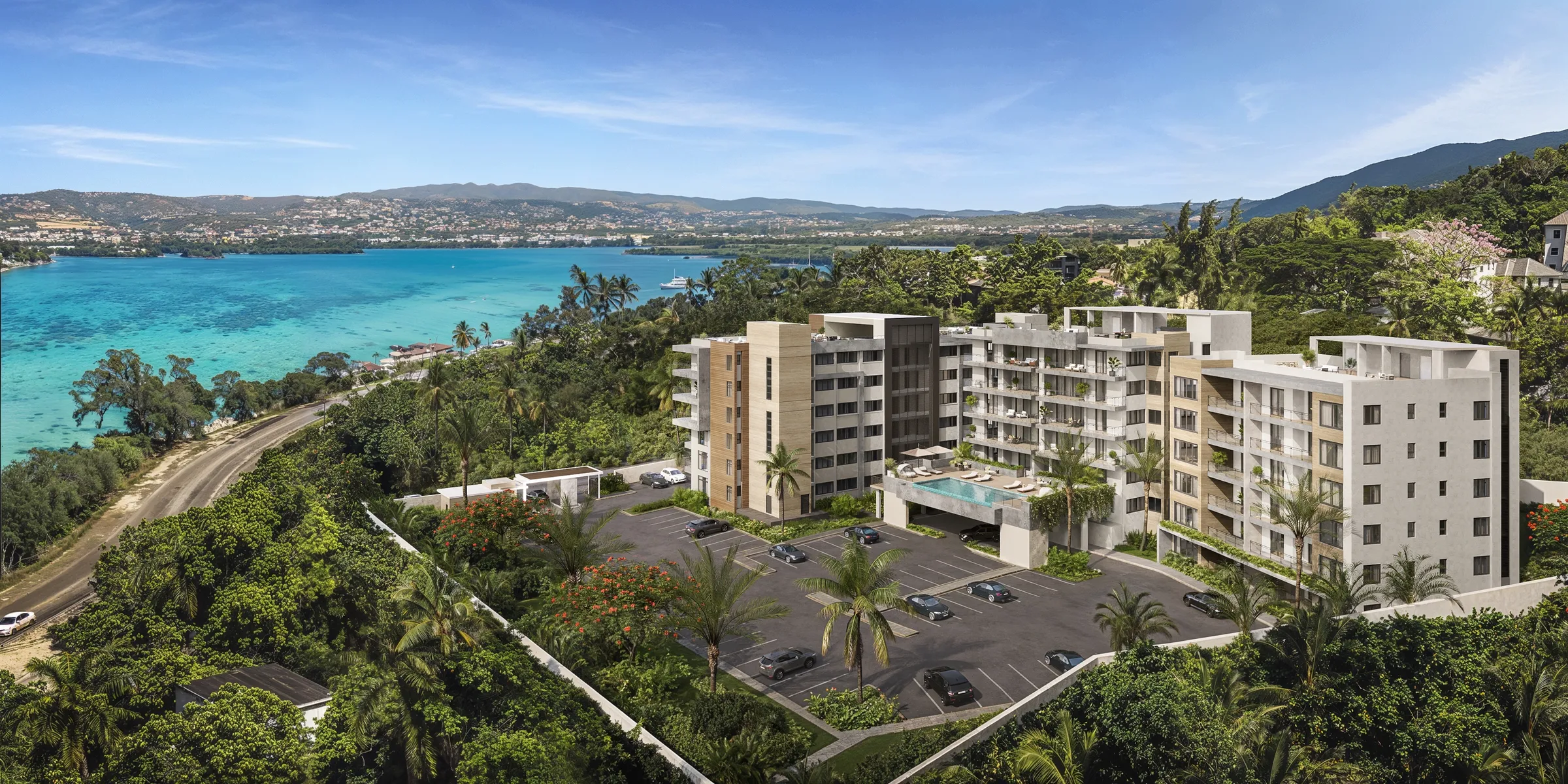
Much of the island’s luxury market sits on or near the coast, and coastal sites carry an extra layer. The department’s FAQ states that no structure should be sited closer than 30.5 metres (100 feet) from the high water mark, or, on a cliff frontage, 9.14 metres (30 feet) from the most landward undercut of the cliff.
The Coastal Zone Management Unit is one of the agencies that assesses applications with potential to affect coastal resources, and its review is where setbacks, shoreline protection, and erosion risk get scrutinized. On a beachfront parcel the setback line often decides where the pool, the terraces, and the main living level can go, so locate it on a survey before the design is fixed.
Public Notice, Objections, and Environmental Impact Assessment
Not every application is publicized. Section 29 of the Act requires publicity for the application types listed in the Fourth Schedule of the Planning and Development (General Development) Order, 2021. When it applies, the department’s publicity guidance requires three things from the applicant: a site notice displayed for at least 21 days, notice served on adjoining owners and occupiers, and a notice in a daily newspaper. Anyone can then send a representation or objection with specific grounds. Comments are public and are shared with the Planning and Development Board.
Environmental Impact Assessment is set by the Sixth Schedule of the Act as amended in 2020 and the 2021 EIA Regulations. An EIA Committee screens applications against the screening guidelines. For real estate developers, the triggers that come up most in that list are a hotel or resort complex with more than 50 rooms, a golf course, a marina, pier, or jetty, dredging or land reclamation, and any development within a Heritage Conservation Area or a declared Protected Area. The Committee can also require an EIA or a lighter Initial Environmental Evaluation on discretionary grounds under the Physical Development Plan, and can ask for an evaluation at the approval-in-principle stage. A single spec villa on an established estate rarely hits these triggers. A branded resort on the coast often will.
Where Visualization Helps

A rendering does not win a planning permission. The drawings, the policies, and the planner’s judgment do. What visualization can do is make the design easier to review, easier to explain, and easier to sell once it is approved. These are the points in the process where we see it earn its place.
- Internal design review before submission. On Villa Visala at Apes Hill, the drawings we received carried errors, a bedroom door that could not open, an oversized closet, inconsistent openings, and the white-model stage surfaced them. The entrance, the staircase, and the window layout were resolved in the model. Changes like that belong back in the architect’s set, and if a permission is already in place they may need to go to the department as revised plans. Finding them before the set is stamped is far cheaper than finding them after.
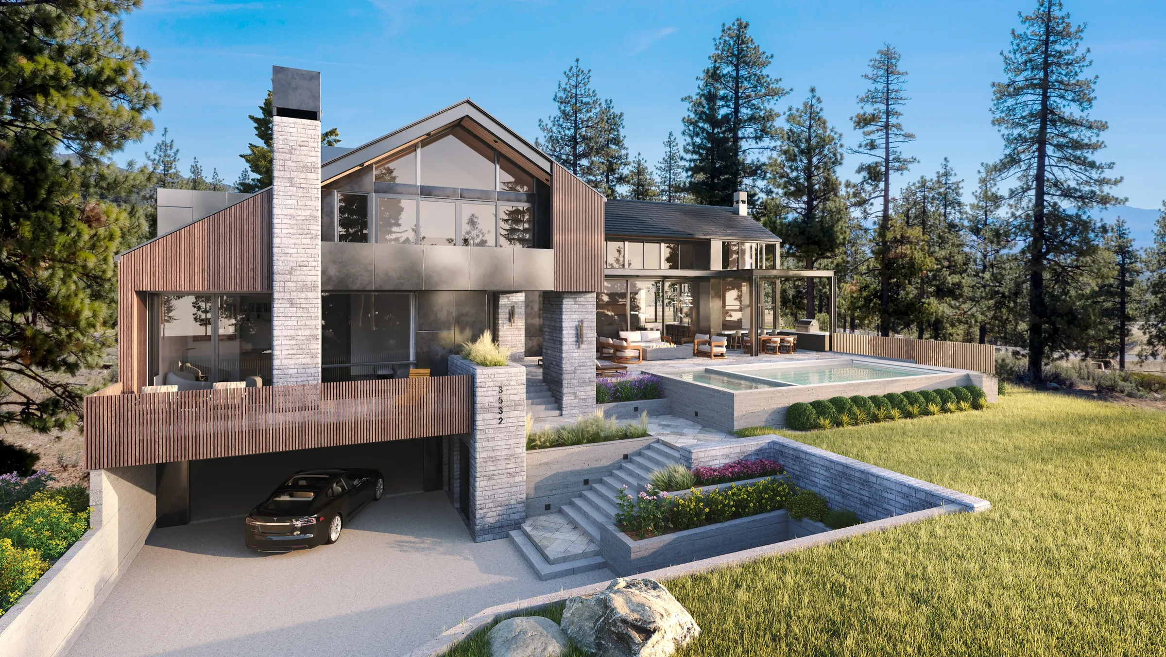
- Massing and view studies. An untextured massing model on the real topography shows how a two-storey home sits against plot coverage, building lines, and a slope, and what each floor actually sees. On Apes Hill’s ridge the views are the product, and the FAQ is blunt that no one in Barbados is guaranteed a right to a view. A view study lets a developer test orientation and height while the design can still move.
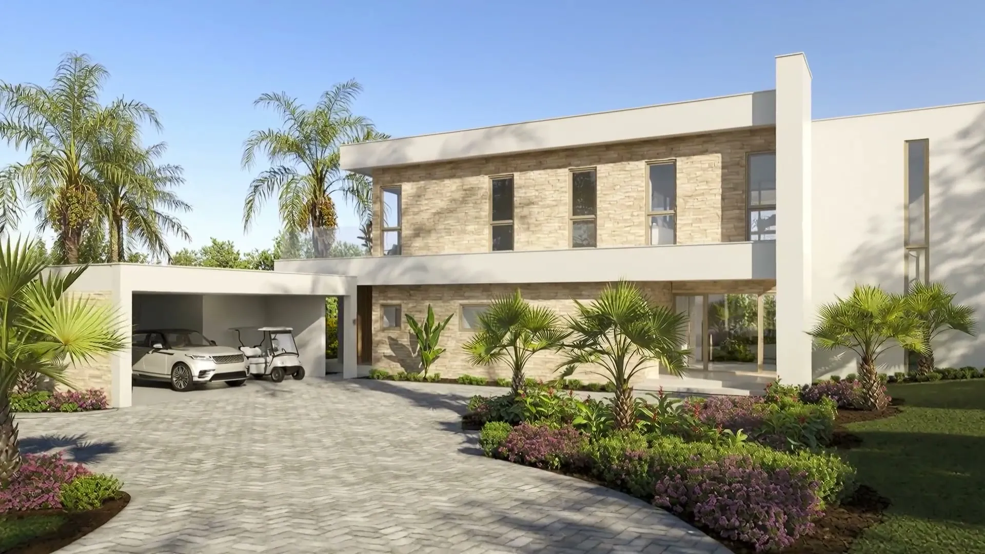
- Showing setbacks and landscape honestly. On a coastal parcel, an aerial or elevated view with the setback line drawn in makes the relationship between house, pool, and high water mark legible to a board or a buyer in a way a site plan rarely is. Landscape should be native and to scale. On Villa Solene we confirmed the lot’s orientation on the estate site plan with the developer and planted only species that grow on the island.
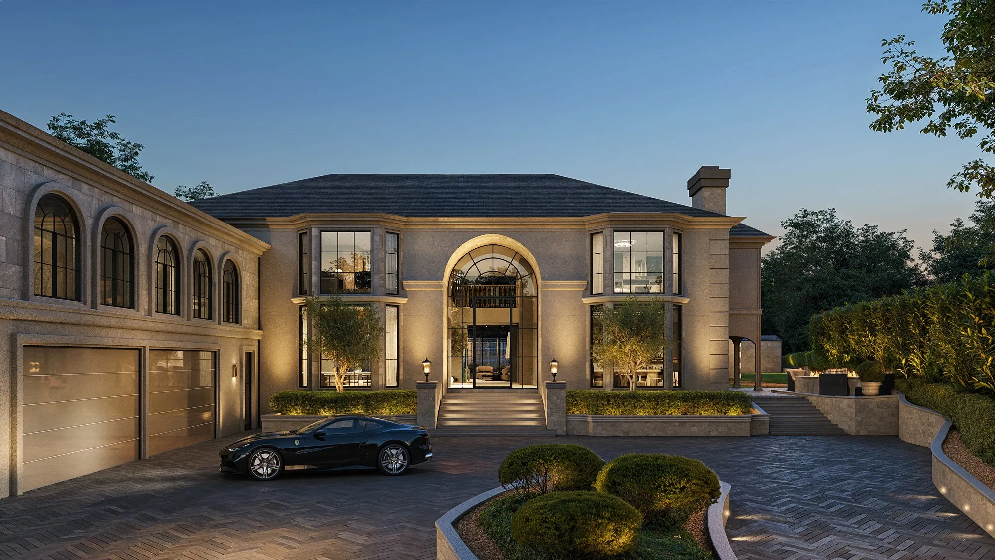
- Neighbors, estate boards, and publicity. When a scheme is publicized or needs sign-off from an estate’s own design review, an accurate image of what is proposed answers questions that a newspaper notice cannot. An image built to impress rather than inform tends to raise objections, not settle them.
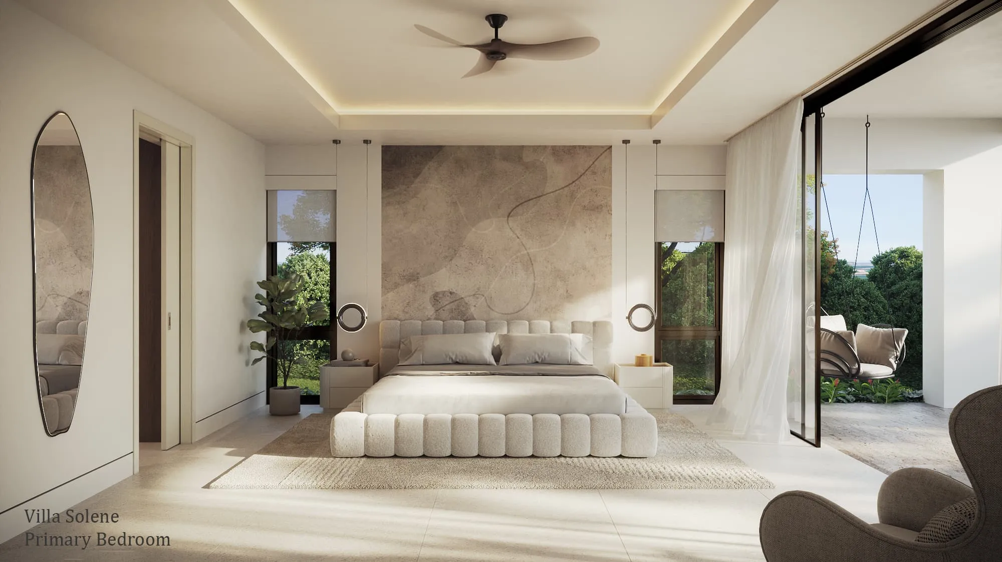
- Pre-sales, once the design is settled. This is the stage where the imagery pays for itself. Villa Solene, a spec villa at Apes Hill for developer Pure CMI, sold before it was built on its renderings, and Villa Visala across the road went to market off-plan on the same kind of imagery. We produced the visuals; the local architect and the developer handled the approvals.
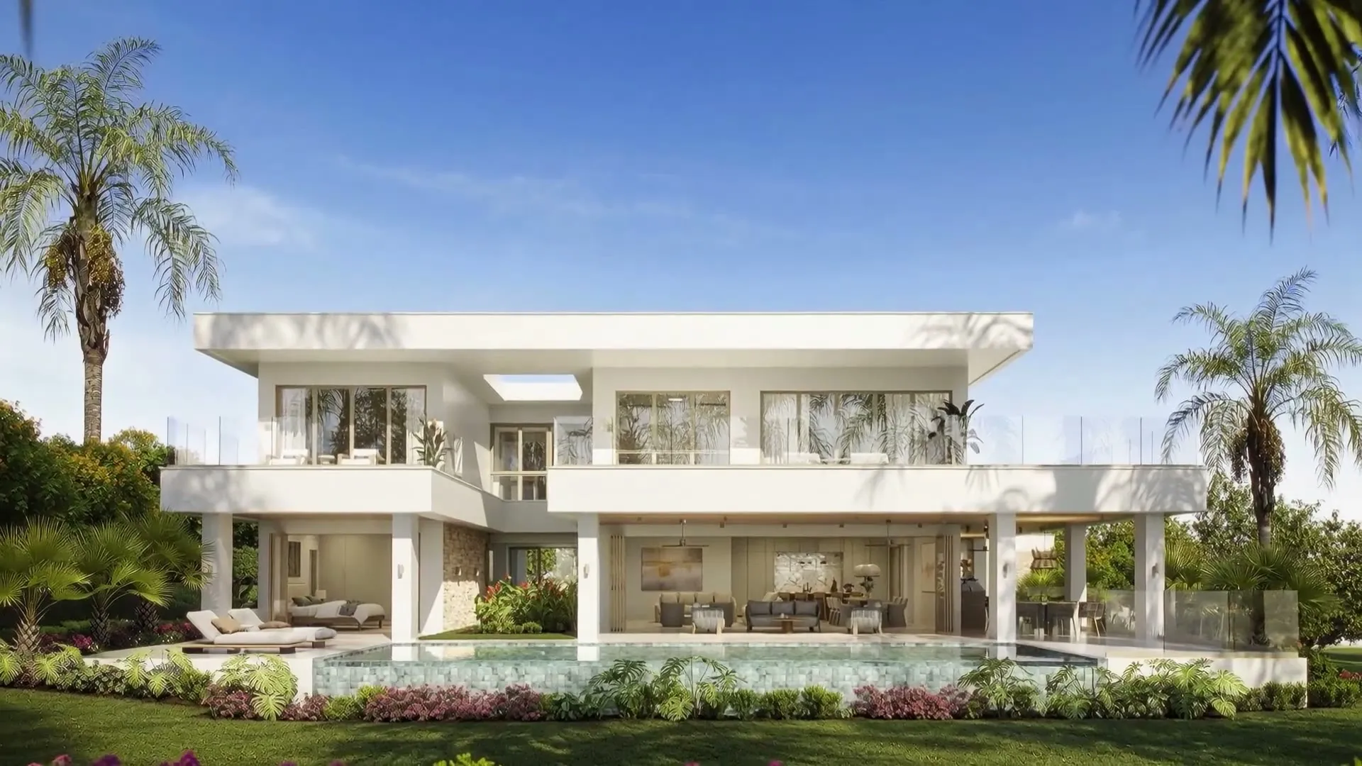
One caution. Approval imagery and sales imagery are different jobs. An approval view is neutral, accurate, and shows the building in its real context, including the neighbors and the setback. A sales view is chosen to make one buyer want one home. Using a lifestyle hero in a planning context can undermine trust, and using a flat review image in a sales launch wastes the moment. Brief each for its audience.
Bringing This to Your Project
Get your architect or planning consultant in early, locate the setbacks and any restrictive zones on a survey, and ask them whether your scheme is likely to need publicity or EIA screening. Use visualization where it reduces risk: to catch design problems before the set is stamped, to test massing and views while they can still change, and to explain the proposal clearly when it goes public. Then build the sales imagery on the approved design.
For the regional picture, see our work across the Caribbean and in Barbados. When you are ready to sell, our guide to pre-selling Caribbean real estate to remote buyers picks up where this one ends, and for another island market, see developing and pre-selling off-plan in Turks and Caicos. If the design itself still needs resolving, look at our design service, or read why we white-model every angle first. For finished imagery, see exterior rendering.
FAQs
Who grants planning permission in Barbados?+
The Planning and Development Department (formerly the Town and Country Development Planning Office), under the Planning and Development Act, 2019, with decisions made against the Physical Development Plan. Appeals go to the Minister responsible for town planning within 28 days of a decision.
Do I need a Barbadian architect to apply?+
The department says a qualified architect, draftsman, or engineer can draw plans, with the Architects Registration Act setting which buildings need a registered architect. On luxury villas, a local registered architect typically prepares and stamps the planning set. Confirm the requirement for your project with the Architects Registration Board or your architect.
How close to the beach can I build?+
As of 2026, the department's FAQ states 30.5 metres (100 feet) from the high water mark, or 9.14 metres (30 feet) from the most landward undercut on a cliff frontage. Coastal applications are also assessed by the Coastal Zone Management Unit. Have the line surveyed before the design is fixed.
How long does a planning decision take?+
The department's FAQ says simple formal applications are generally processed within two months of submission. Publicity periods, agency consultations, and EIA screening add to that on larger or coastal schemes. Your architect or planning consultant is the right person to estimate it for your site.
Will renderings get my project approved?+
No. Approval rests on the stamped drawings, the policies, and the department's assessment. Renderings help the design get reviewed and explained clearly, especially massing, views, setbacks, and landscape, and they become the main sales tool once the design is approved.
Can I start marketing before permission is granted?+
That is a legal and commercial question for your attorney and agent, not for us. What we can say is that sales imagery is most reliable when it is built on the design that will actually be approved and built, so the images a buyer commits to match the house they receive.