
[ Services ]
3D Landscape Rendering Services
Getting the landscape right is often what separates a flat rendering from a convincing one. We produce landscape and site-context visualization for landscape architects and developers, whether the goal is design approval or showing how a building sits in its setting.
Landscape rendering is a photoreal view of gardens, pools, hardscape and planting around a building, made before they are installed. NoTriangle Studio, a 3D architectural visualization studio headquartered in the San Francisco Bay Area (Fremont, California), founded in 2014, creates landscape renderings for developers, landscape architects and designers across the US, Canada and the Caribbean.
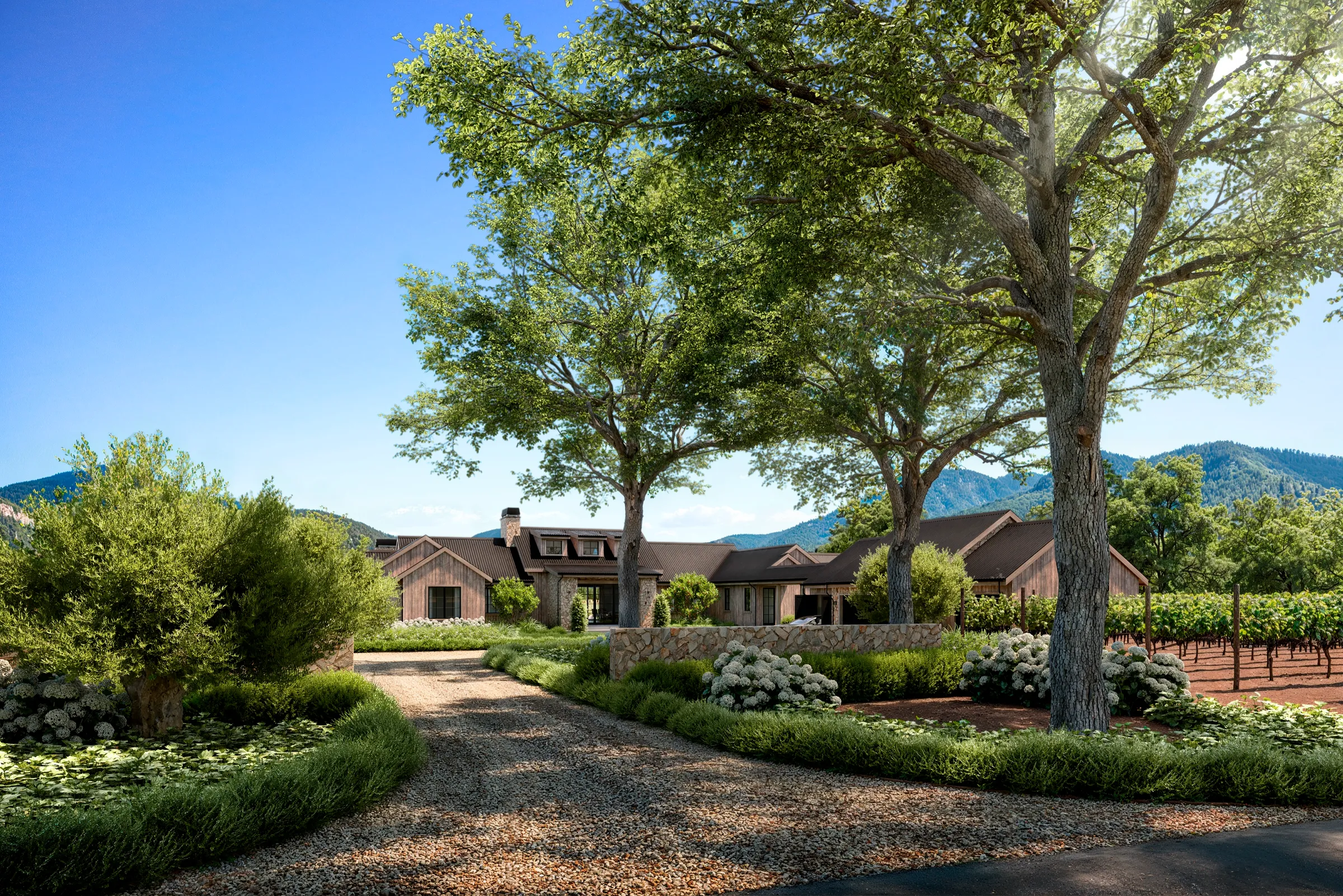
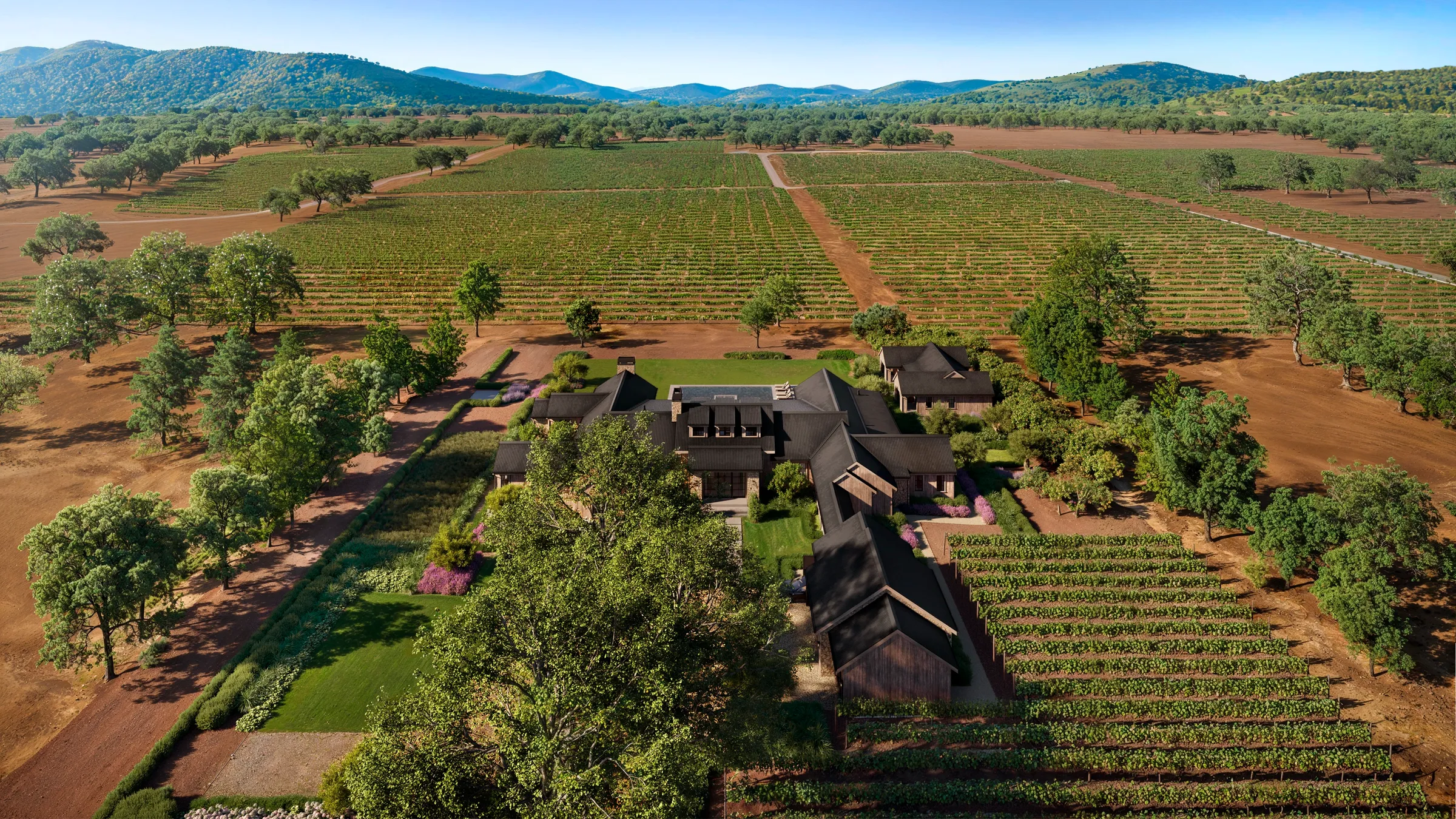
For a Napa Valley wine-country estate, 27 exterior and interior renderings and an animation were composed around the vineyards, oaks and hills, and the developer, on its third project with the studio, has since returned for two more homes. Read the case study
Book a callWhat 3D landscape rendering is
3D landscape rendering is the use of 3D modeling to create realistic visual representations of outdoor spaces: gardens, landscapes, and hardscapes. The landscape is built digitally, terrain, planting, buildings, water features, and other elements, with accurate materials and lighting, so the result reads as the real place. Landscape architects, architects, and developers use it to study design options and present their concepts to clients and review boards with clarity.
What we need to build it
To produce a photorealistic landscape rendering we need detailed landscape plans and any references that show the design intent. Whether the design calls for paths, water bodies, or rockeries, we build them from those plans, and we can take the detail further when specific requirements matter. If a hedge box has to be manicured a certain way, or a flower bed arranged just so, we build it to that direction.
Whether you have fixed requirements or want creative input, our trained architects with landscape expertise develop the 3D exterior rendering, deciding how details should read to serve the landscape plan. We set the approach to the project's needs at kickoff.
Building the surrounding area
We build a project's surroundings in different ways depending on the project's needs. The first route is to study the local area and use vegetation from our library to create a setting that matches the local environment. Our team builds any type of vegetation, whether that is Mediterranean planting in California, bushes and dunes in the Hamptons, or tall coniferous trees in Canada. If you need an exact replica of the property's actual surroundings, we can build that in 3D, though it is a more involved route than a setting that simply matches the local area.
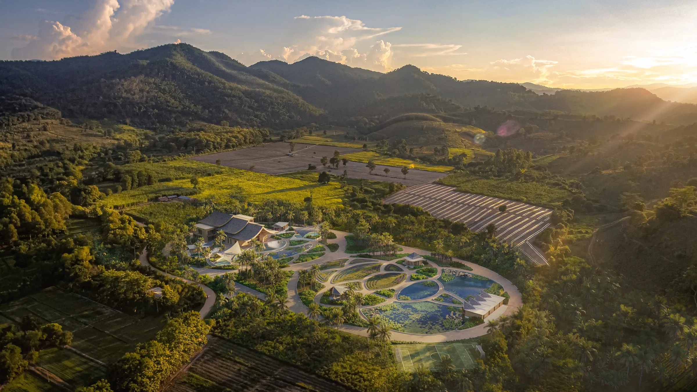
A second, often better route is to blend the 3D rendering with photography of the surrounding area. It is more efficient, and it grounds the image in the real site. The simplest version blends the rendering with a photo from Google Earth or Street View, but we recommend high-quality photographs of the site for the most convincing result, and drone shots where an aerial is needed. We can blend renderings with any landscape, mountains, lakes, beaches, or an urban setting.
Landscape as part of the whole project
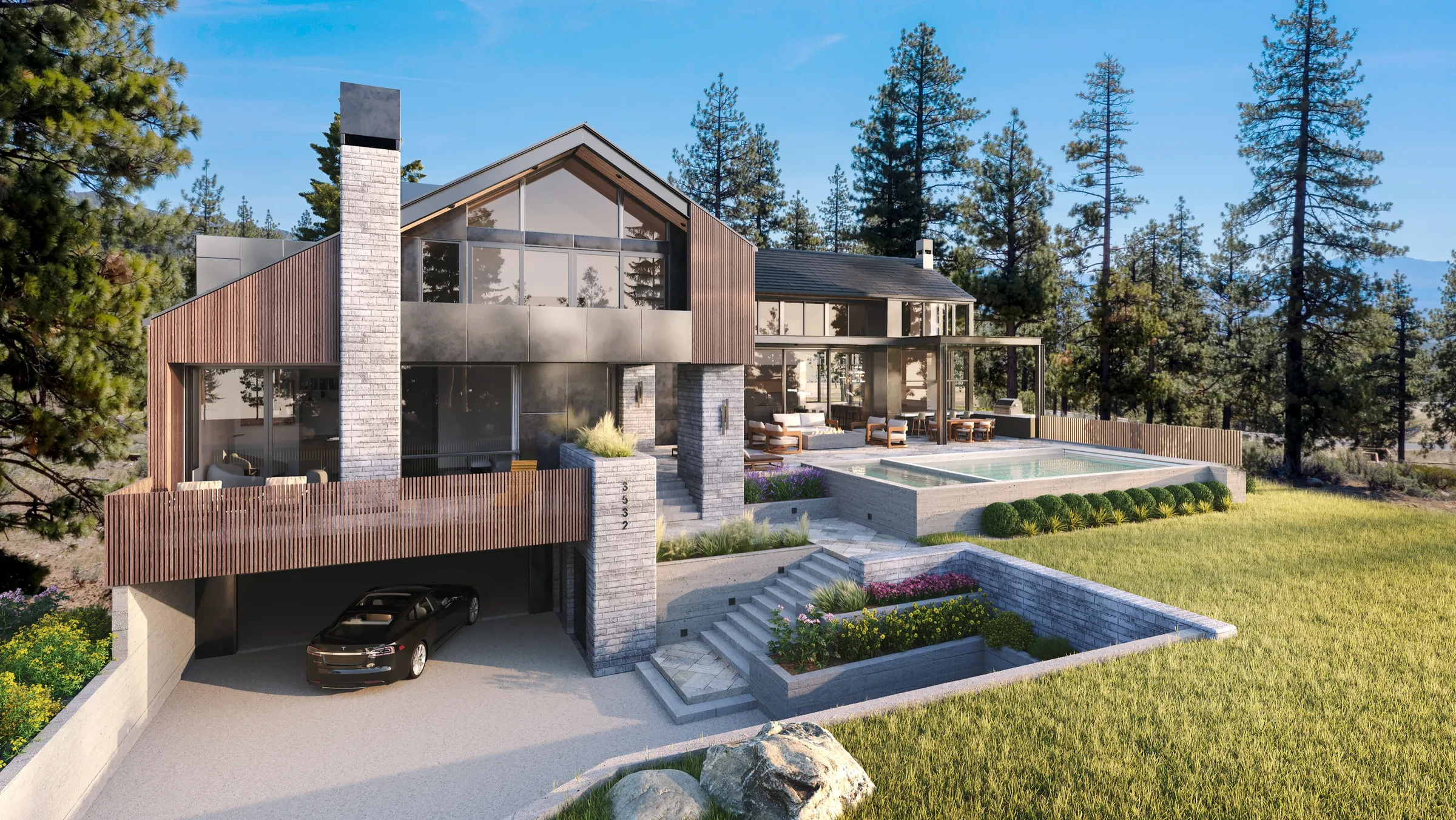
Landscape is rarely a standalone deliverable. It is the setting that makes an exterior believable, and it is built from the same model as the building it surrounds. Treating it as part of the project, rather than a backdrop added at the end, is what makes the final image hold together.
[ Quick answers ]
Quick answers.
- What it is
- Renderings where the outdoor design leads: planting, hardscape, water, lighting and the view beyond.
- What's included
- The agreed garden, pool, terrace and aerial views, region-appropriate planting, seasonal or time-of-day versions on request, and real photographic plates blended in where the view matters.
- What we need from you
- The landscape plan and planting schedule, hardscape and material specs, the architectural model or drawings, and site photos or drone footage. What files to send
- How long
- It depends on the size and readiness of the project. The schedule is confirmed in the proposal, once we understand the scope and your deadline. Timelines FAQ
- What it costs
- Published 2026 industry guides list about $500 to $3,500 per image for a street-level exterior and about $800 to $4,000 for an aerial. These are industry-wide 2026 ranges, not NoTriangle prices. Every NoTriangle project is quoted to its scope after a discovery call; there is no price list. Cost guide
Frequently asked questions
What do you need to render a landscape design?+
The landscape plan and planting schedule, hardscape and material specifications, and the architectural drawings or model the landscape sits around. Site photos or drone footage help us match the real terrain and views. If the landscape is only partly designed, send what exists; we flag what is missing at the file review, before production starts.
Will the planting look right for our region?+
Yes. Region-appropriate landscaping, vegetation and background context are part of getting an image to read as real. Our process begins with an analysis of the site and its setting, so a Napa vineyard, a Tahoe forest and a Caribbean hillside each look like themselves rather than a generic backdrop.
Can you show the property in different seasons?+
Yes. For destinations where the season is part of the appeal, such as a ski resort or a waterfront home, we can render the same view across seasons so buyers see it the way they will live it. These versions are usually phased, leading with the season that matters most for the current launch.
Our architect and landscape designer work separately. Can you combine their designs?+
Yes. On many projects the architecture, interior and landscape packages come from different teams and do not always agree. We review them together, resolve the discrepancies with you before production, and combine them into one coherent image that represents everyone's intent. One consolidated visual also makes coordination between the teams easier.
Can the rendering show the real view from the site?+
Yes. When a view is central to the project, such as a terrace opening onto an ocean or valley, we blend real photographic plates into the rendering so it matches what a buyer would see. We give your drone operator or photographer a shot list for the exact angle, and in many cases a clean phone photo of the view is enough to work from.
[ Explore further ]
Further reading
Related services
Where we work: landscape renderings for projects in New York, the Hamptons, New England, Los Angeles, San Francisco, Lake Tahoe, Texas, Nashville and the Southeast, Chicago and the Midwest, Utah and the Mountain West, Vancouver, the Caribbean and Dubai.
- Years in business
- 10+
- Projects delivered
- 500+
- Clients
- 150+
[ Start here ]
Every project starts with a discovery call.
The call is where we understand the site, the landscape design and who the images have to convince.
Book a call